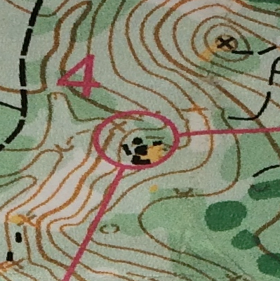
Three maps
I love the challenge of orienteering, finding your way on a map while running. I am fairly good at reading maps, yet I struggle to find my way under time pressure. What we use to navigate a terrain is the map in our mind, not the map in our hands.
There are three representations of the terrain:
- in reality
- on the map
- in the mind.
It is fairly easy to match the representation on my map with the terrain as I look around and orient the map to the compass. I can match up each feature of the terrain: this tree is here, that rock is over there, and this looks like the definite valley on the map. This is sufficient to get a general bearing and to start running like crazy. But it is not sufficient for any sophisticated planning: what will the terrain look when I get there, which route is the best, how do I find my way if I lose contact with the map?
When I run based on the printed map alone, I am not lost in the sense of not knowing where I am. But I am lost in that I have no idea where I was and where I will be. I can return to a point on the map without realizing I have been there before.
It takes much more time to build up a mental image of the terrain in my mind. The map in my mind is less precise in its details, but is quite useful to overview the broader relationships: This huge hill dominates the area. There is an uncrossable bush to the north. Every control point is in the vicinity of this north-south dirt road.
To become a more efficient orienteerer, I will strive to build up my mental map faster.